VisitedAtlas

Printable map of Oceania to colour in the countries you’ve visited

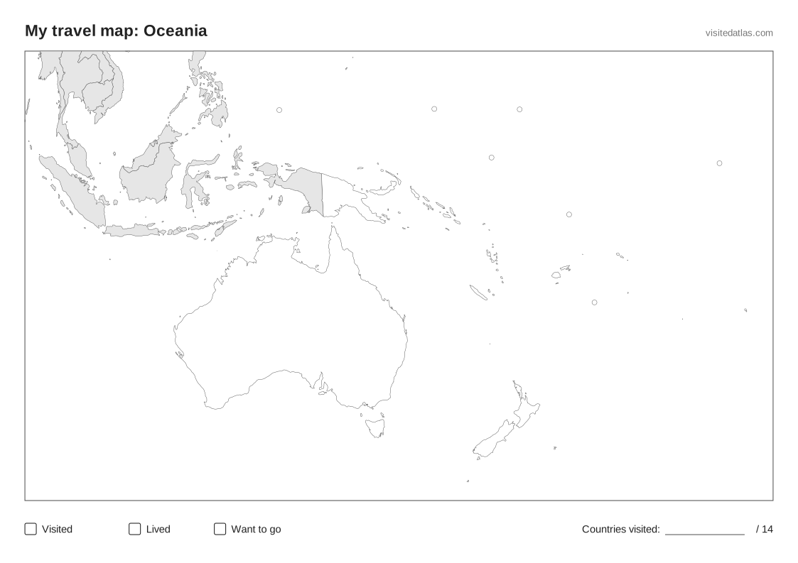
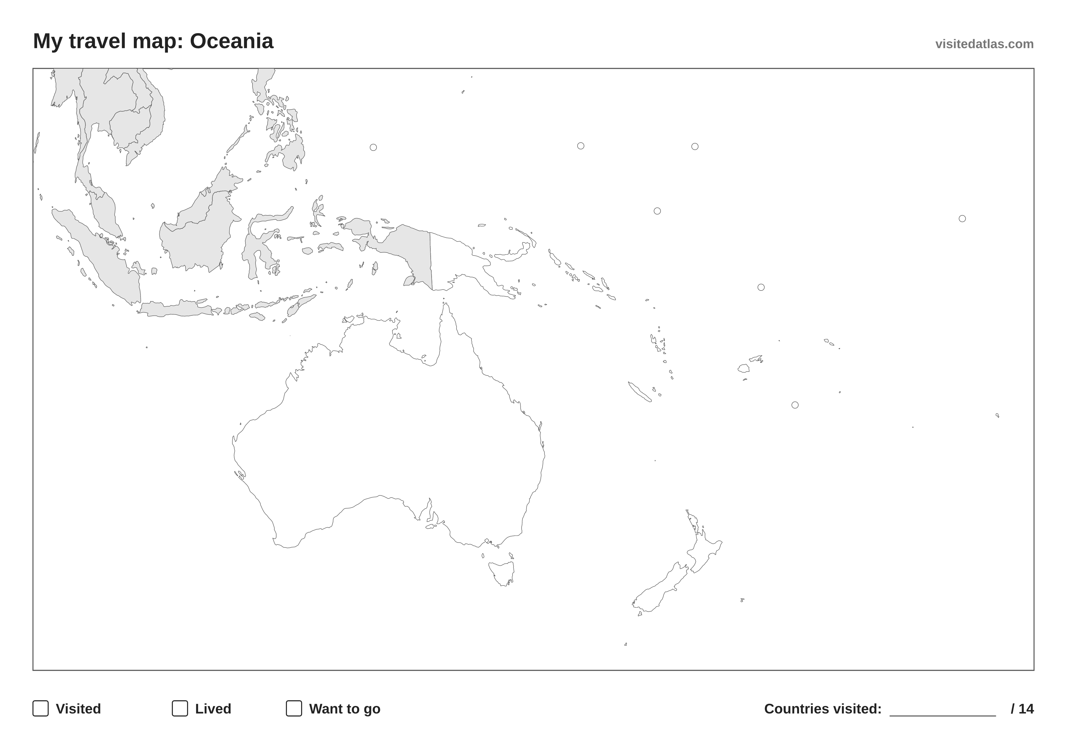
A blank map of Oceania with the borders of all 14 countries, and the rest of the world in light grey. Tiny countries get a small circle so you can colour them too. Print it, colour where you’ve been and write your total in the corner. Free, no sign-up.

Blank map of Oceania with country borders and a legend: visited, lived, want to go

Download

Free to reuse under CC BY 4.0. Credit: “Map: VisitedAtlas (visitedatlas.com)”. Map license

Save to Pinterest →

How to use your printable map of Oceania

  1. Print it in landscape on A4 or US Letter, or download the PDF. The SVG scales to A3 or poster size without losing detail.
  2. Pick three colours and fill the boxes at the bottom: one for countries you’ve visited, one for where you’ve lived, one for places you want to go.
  3. Colour in the countries and write how many of the 14 you’ve been to in the corner.

All 14 countries in Oceania

Australia · Fiji · Kiribati · Marshall Islands · Micronesia · Nauru · New Zealand · Palau · Papua New Guinea · Samoa · Solomon Islands · Tonga · Tuvalu · Vanuatu

Prefer it online?

Mark the countries of Oceania on an interactive map instead: it counts them for you, lists all 14 and works on every device. Your map stays private.

Printable continent maps

Printable countries visited checklist →

Questions and answers

Is the printable map of Oceania free?
Yes. Download, print and colour as many copies as you like, at home or in a classroom. No sign-up needed.
How many countries are on the map of Oceania?
All 14 countries in Oceania: UN members plus observer and partially recognised states, grouped by the UN geoscheme. Territories are drawn too, but not counted. All 14 countries in Oceania →
Does the map show country names?
No. The sheet is a blank outline map, so there is room for your colours. The names of all 14 countries are listed on this page, A to Z.
What size is it?
The PDFs are landscape A4 (297 × 210 mm) and US Letter. The PNG is 3508 × 2480 pixels, A4 at 300 dpi. The SVG is vector, so it prints sharp at A3 or as a poster.
Can the map show the countries I’ve already marked?
Yes. If you’ve marked countries on VisitedAtlas in this browser, or you’re signed in, the Print button can colour them in for you before printing.