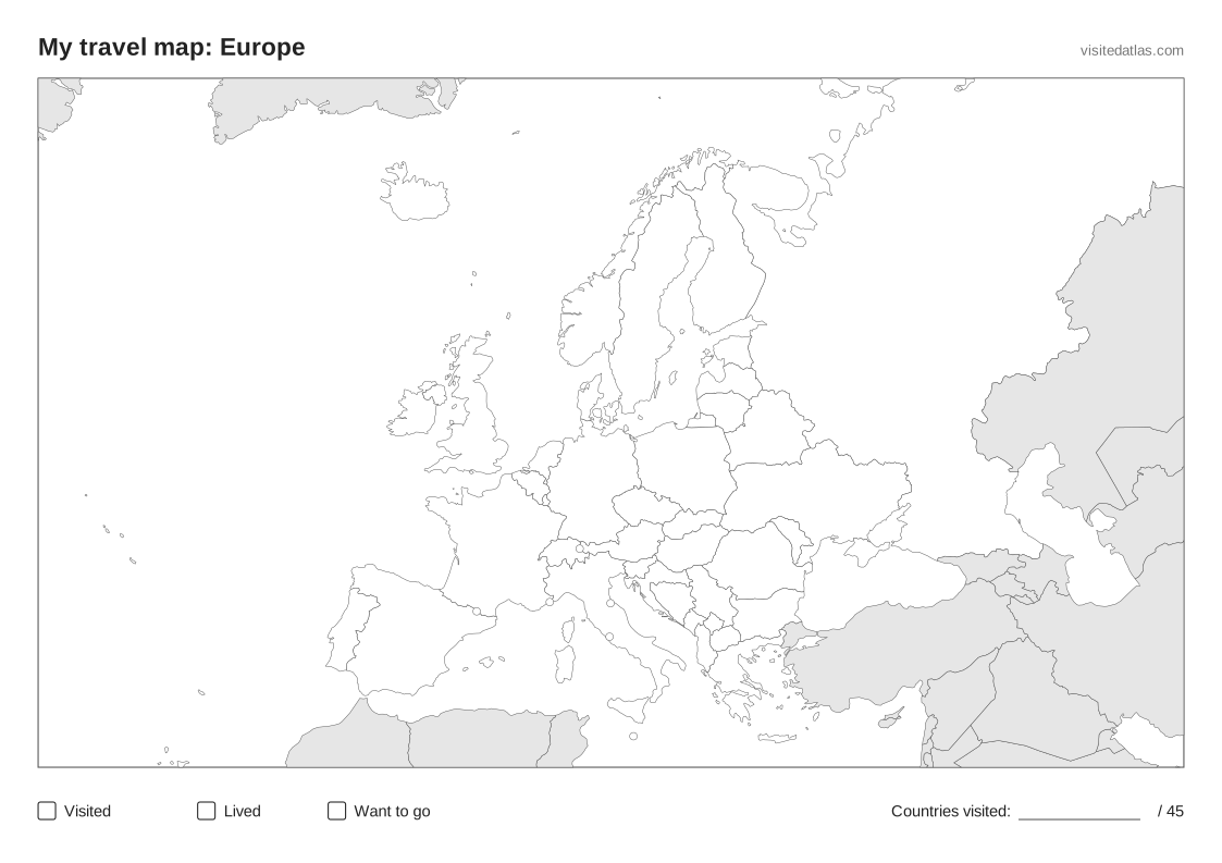
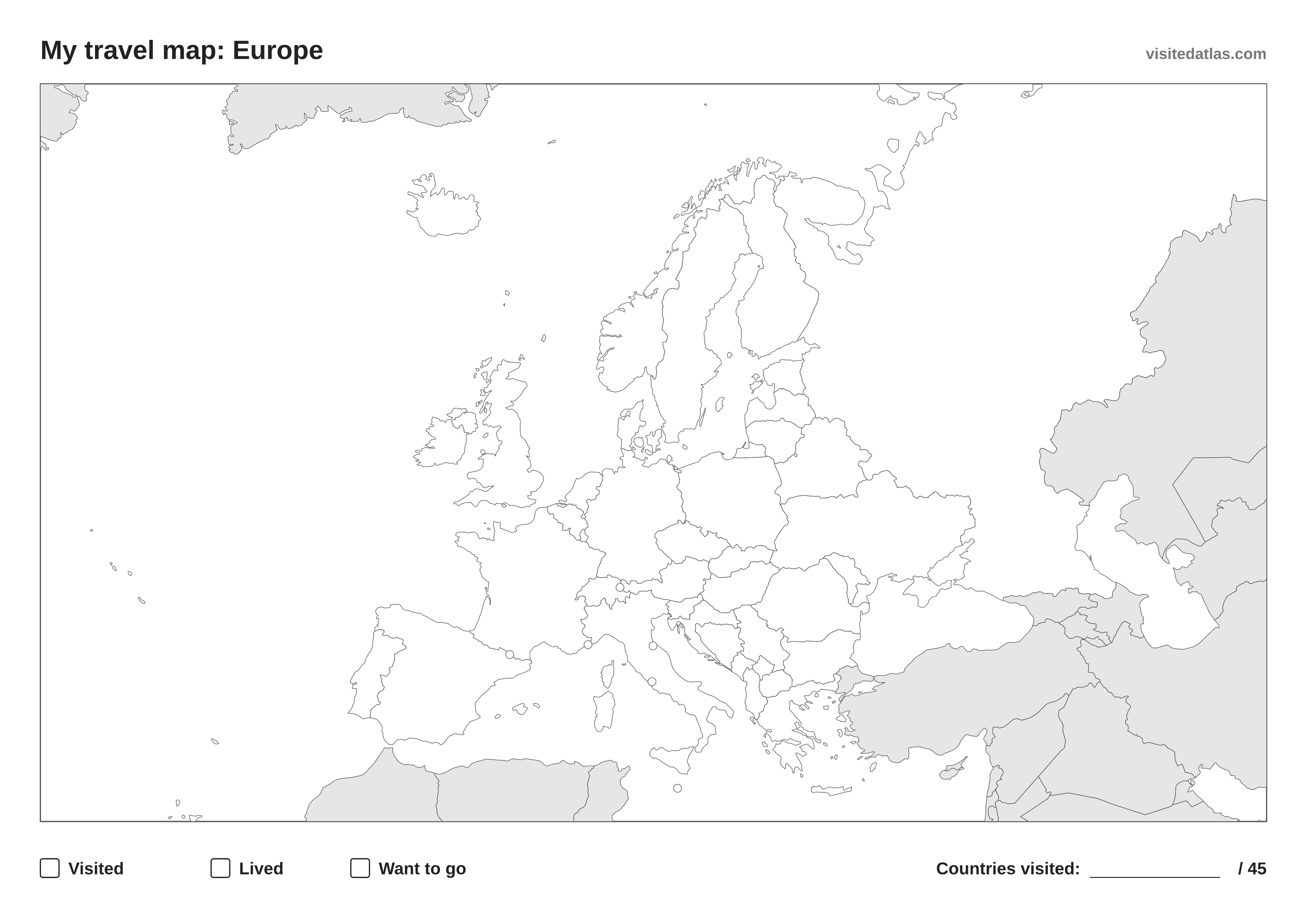
How to use your printable map of Europe
- Print it in landscape on A4 or US Letter, or download the PDF. The SVG scales to A3 or poster size without losing detail.
- Pick three colours and fill the boxes at the bottom: one for countries you’ve visited, one for where you’ve lived, one for places you want to go.
- Colour in the countries and write how many of the 45 you’ve been to in the corner.
All 45 countries in Europe
Albania · Andorra · Austria · Belarus · Belgium · Bosnia and Herzegovina · Bulgaria · Croatia · Czechia · Denmark · Estonia · Finland · France · Germany · Greece · Hungary · Iceland · Ireland · Italy · Kosovo · Latvia · Liechtenstein · Lithuania · Luxembourg · Malta · Moldova · Monaco · Montenegro · Netherlands · North Macedonia · Norway · Poland · Portugal · Romania · Russia · San Marino · Serbia · Slovakia · Slovenia · Spain · Sweden · Switzerland · Ukraine · United Kingdom · Vatican
Prefer it online?
Mark the countries of Europe on an interactive map instead: it counts them for you, lists all 45 and works on every device. Your map stays private.