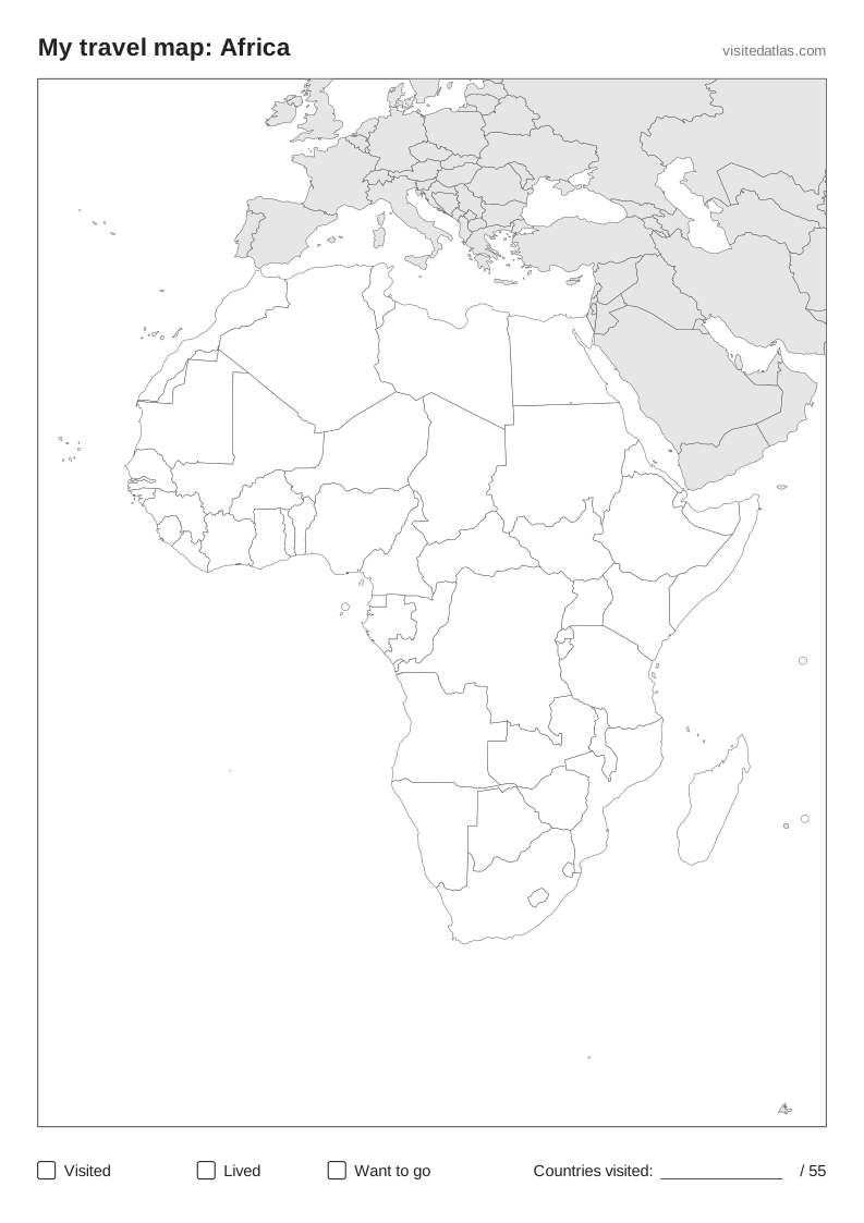
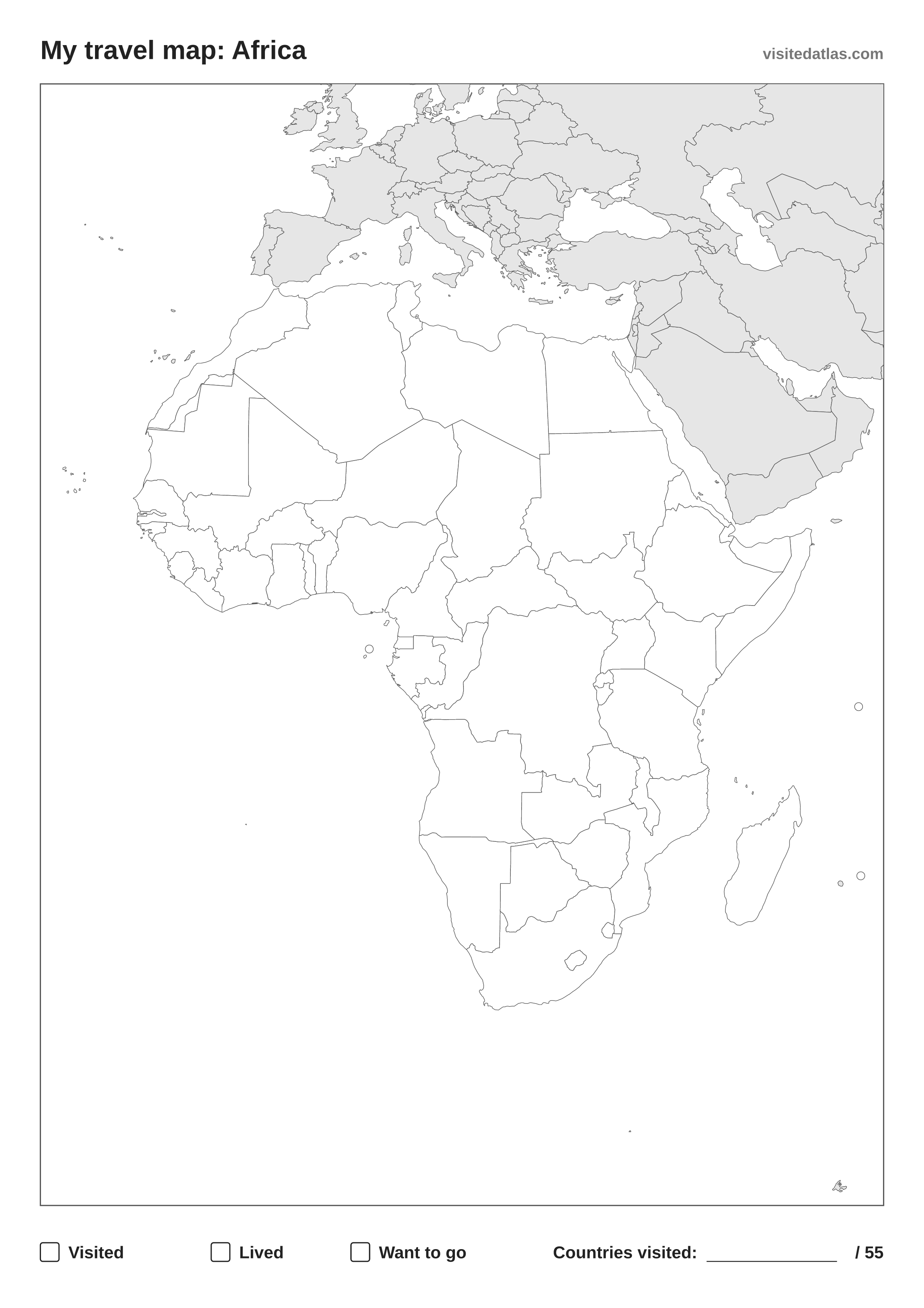
How to use your printable map of Africa
- Print it in portrait on A4 or US Letter, or download the PDF. The SVG scales to A3 or poster size without losing detail.
- Pick three colours and fill the boxes at the bottom: one for countries you’ve visited, one for where you’ve lived, one for places you want to go.
- Colour in the countries and write how many of the 55 you’ve been to in the corner.
All 55 countries in Africa
Algeria · Angola · Benin · Botswana · Burkina Faso · Burundi · Cabo Verde · Cameroon · Central African Republic · Chad · Comoros · Congo · Côte d'Ivoire · Democratic Republic of the Congo · Djibouti · Egypt · Equatorial Guinea · Eritrea · Eswatini · Ethiopia · Gabon · Gambia · Ghana · Guinea · Guinea-Bissau · Kenya · Lesotho · Liberia · Libya · Madagascar · Malawi · Mali · Mauritania · Mauritius · Morocco · Mozambique · Namibia · Niger · Nigeria · Rwanda · São Tomé and Principe · Senegal · Seychelles · Sierra Leone · Somalia · South Africa · South Sudan · Sudan · Tanzania · Togo · Tunisia · Uganda · Western Sahara · Zambia · Zimbabwe
Prefer it online?
Mark the countries of Africa on an interactive map instead: it counts them for you, lists all 55 and works on every device. Your map stays private.