Marshall Islands map
The Marshall Islands is a country in Oceania, in Micronesia. Been there? Click it on the globe to add it to your map.
At a glance
- Capital
- Majuro
- Continent
- Oceania · Micronesia
- Status
- UN member state
- Population
- 58,791
- Area
- 237 km²
0.00% of the world’s people, 0.00% of its land
Visited
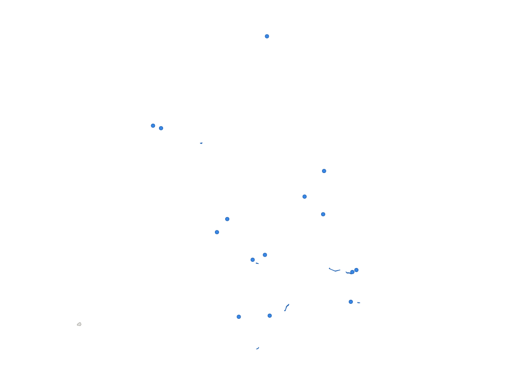
Regions of the Marshall Islands
The Marshall Islands is divided into 2 regions.
Tap a region on the map or in the list to mark it visited. Tap again to clear it.
Visited
How the Marshall Islands is divided
The administrative levels of the Marshall Islands, from the whole country down, and which ones you can mark on VisitedAtlas.
| Level | Number | On VisitedAtlas |
|---|---|---|
| Country | 1 | ✓ Yes |
| Regions | 2 | ✓ YesMark on the map |
| Local subdivisions | 24 | Not yet |
You can also mark any city or place, as a point on your map.

Would you like to mark local subdivisions on VisitedAtlas?
More countries in Micronesia
Questions about the Marshall Islands
- Where is the Marshall Islands?
- The Marshall Islands is in Micronesia (Oceania). Its capital is Majuro. Approximate coordinates: 7°N, 171°E, north of the Equator.
- Which continent is the Marshall Islands in?
- The Marshall Islands is in Oceania, in the Micronesia region.
- What is the capital of the Marshall Islands?
- The capital of the Marshall Islands is Majuro.
- Which country is Majuro in?
- Majuro is the capital of the Marshall Islands, in Micronesia.
- How many regions does the Marshall Islands have?
- The Marshall Islands has 2 regions: Railik Chain, Ratak Chain.
- Is the Marshall Islands a country?
- Yes. The Marshall Islands is an independent country and one of the 193 UN member states.