British Virgin Islands map
The British Virgin Islands is a territory of the United Kingdom in North America, in the Caribbean. Been there? Click it on the globe to add it to your map.
At a glance
- Continent
- North America · Caribbean
- Status
- Territory of the United Kingdom
- Population
- 30,030
- Area
- 135 km²
0.00% of the world’s people, 0.00% of its land
Visited
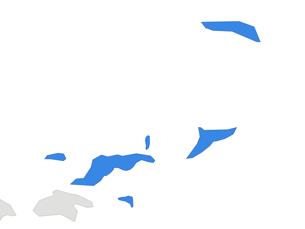
British Virgin Islands isn’t divided into regions you can mark separately. Mark it on the globe at the top of the page.
More countries in the Caribbean
Questions about the British Virgin Islands
- Where is the British Virgin Islands?
- The British Virgin Islands is in the Caribbean (North America). Approximate coordinates: 18°N, 65°W, north of the Equator.
- Which continent is the British Virgin Islands in?
- The British Virgin Islands is in North America, in the Caribbean region.
- Is the British Virgin Islands a country?
- No. The British Virgin Islands is a territory of the United Kingdom, not an independent country.
- Which country does the British Virgin Islands belong to?
- The British Virgin Islands belongs to the United Kingdom. It is in the Caribbean, North America.